Daniel Foley
Geospatial Data Analyst
I work with satellite and environmental data to answer where wildfire risk actually sits — and to say honestly how much confidence the numbers deserve.
Selected Work
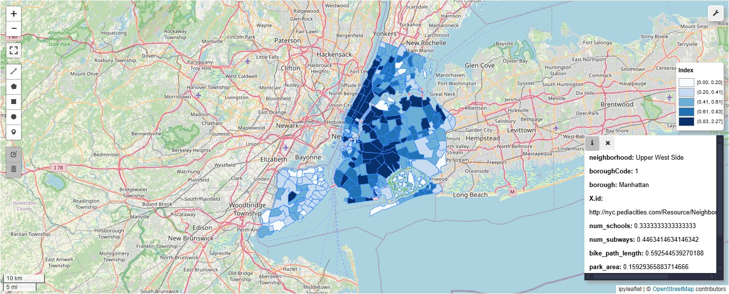
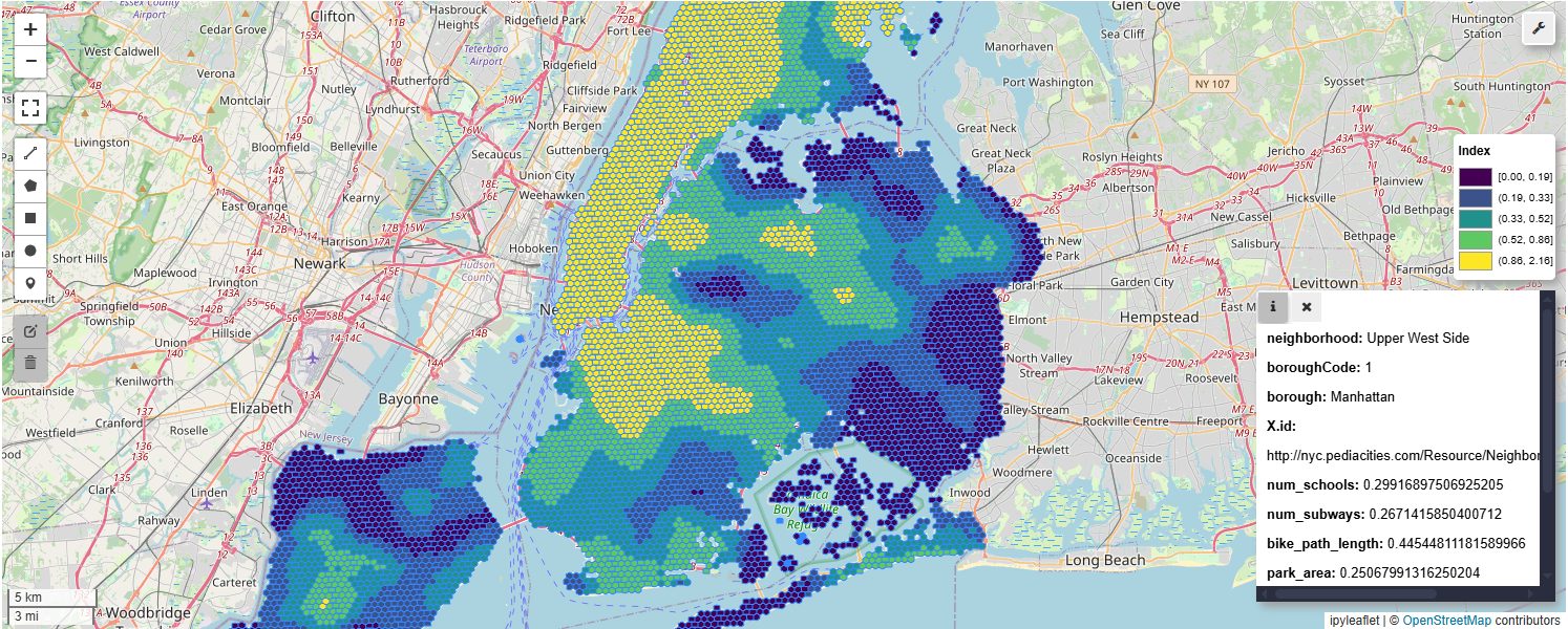
Skills & Stack
About

Hello! My name's Daniel, and I am a geospatial developer with an interest in turning complex spatial data into high-impact, practical tools. My work spans the full pipeline, from data ingestion to designing interactive interfaces, and I love building solutions to combat a variety of climate and humanitarian issues. Be it wildfire risk modeling, catastrophe response optimization, or anything in between, my main driver is building pragmatic applications that can be used by real people for real problems.
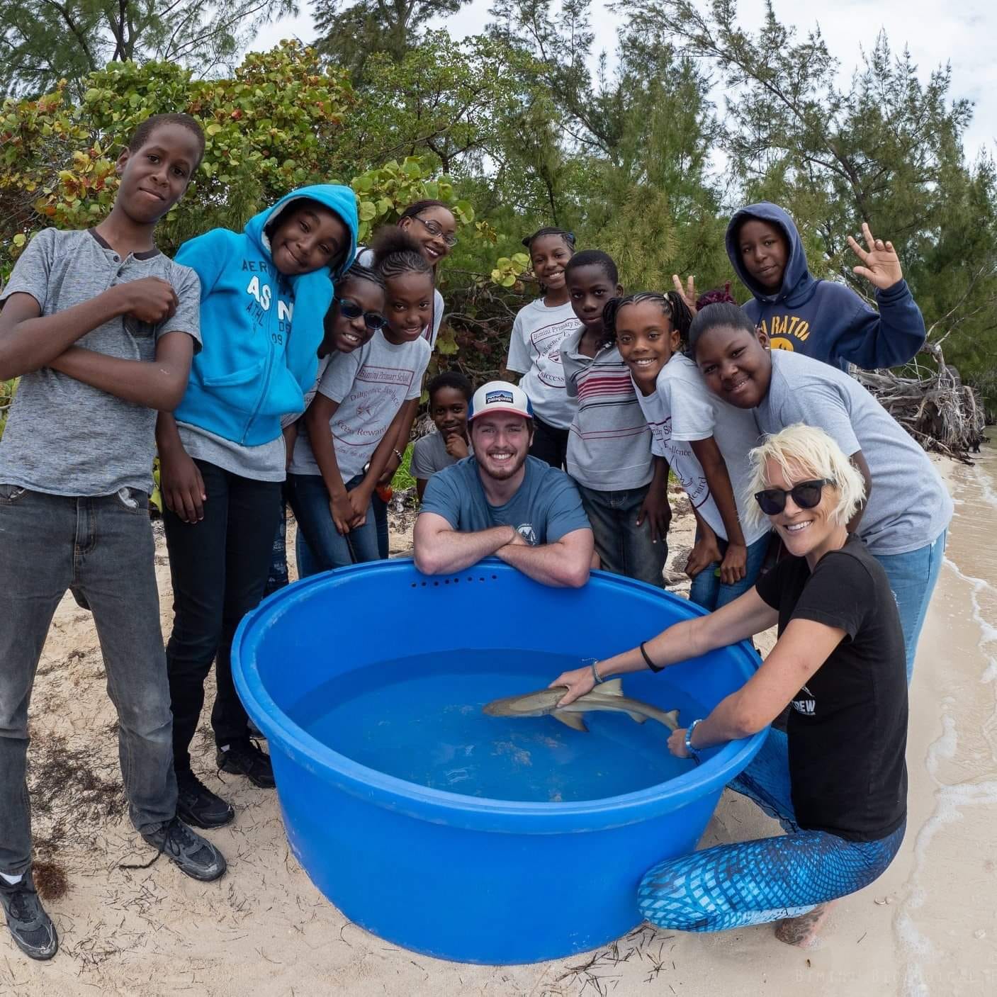
My background is a curious mix of academic work, science communication, and impactful tech development. I hold a Bachelor of Science in biology, and have always been fascinated by the natural world. For years I worked as a wildlife biologist, particularly in marine and freshwater fish biology. Whether it was at the Bimini Biological Field Station in the Bahamas or in the Rocky Mountains with Colorado Parks and Wildlife, protecting our outdoors and educating the public on their fragility, beauty, and critical role in the health of our planet was where my heart lay.
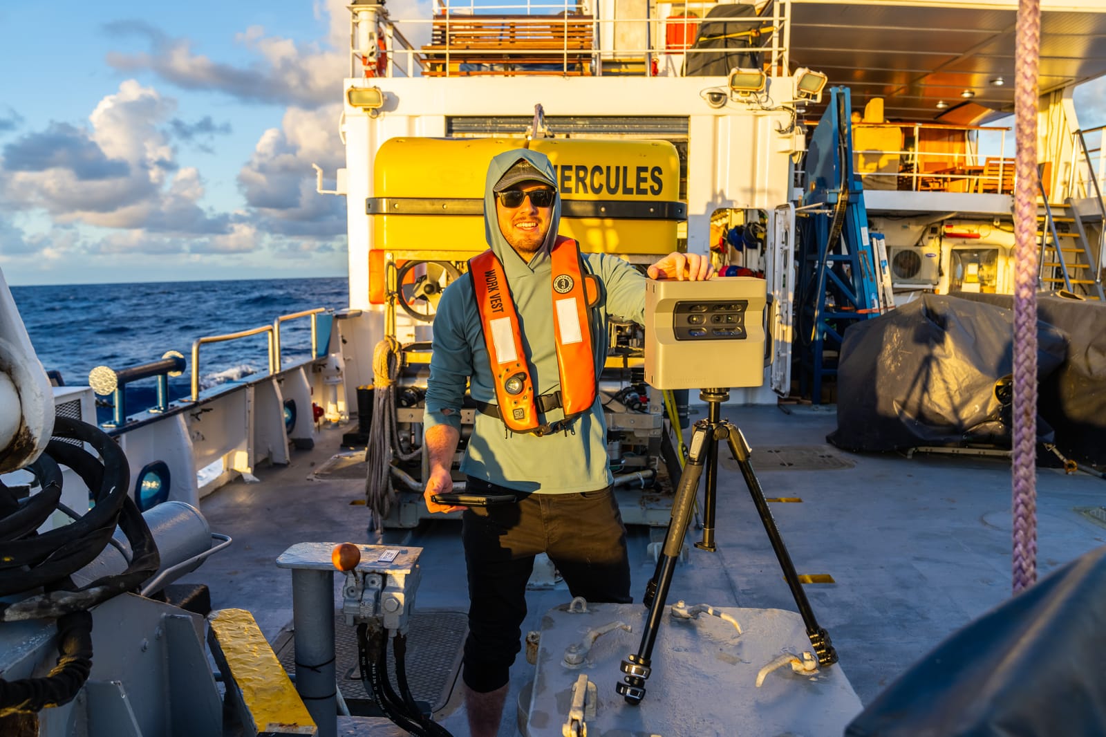
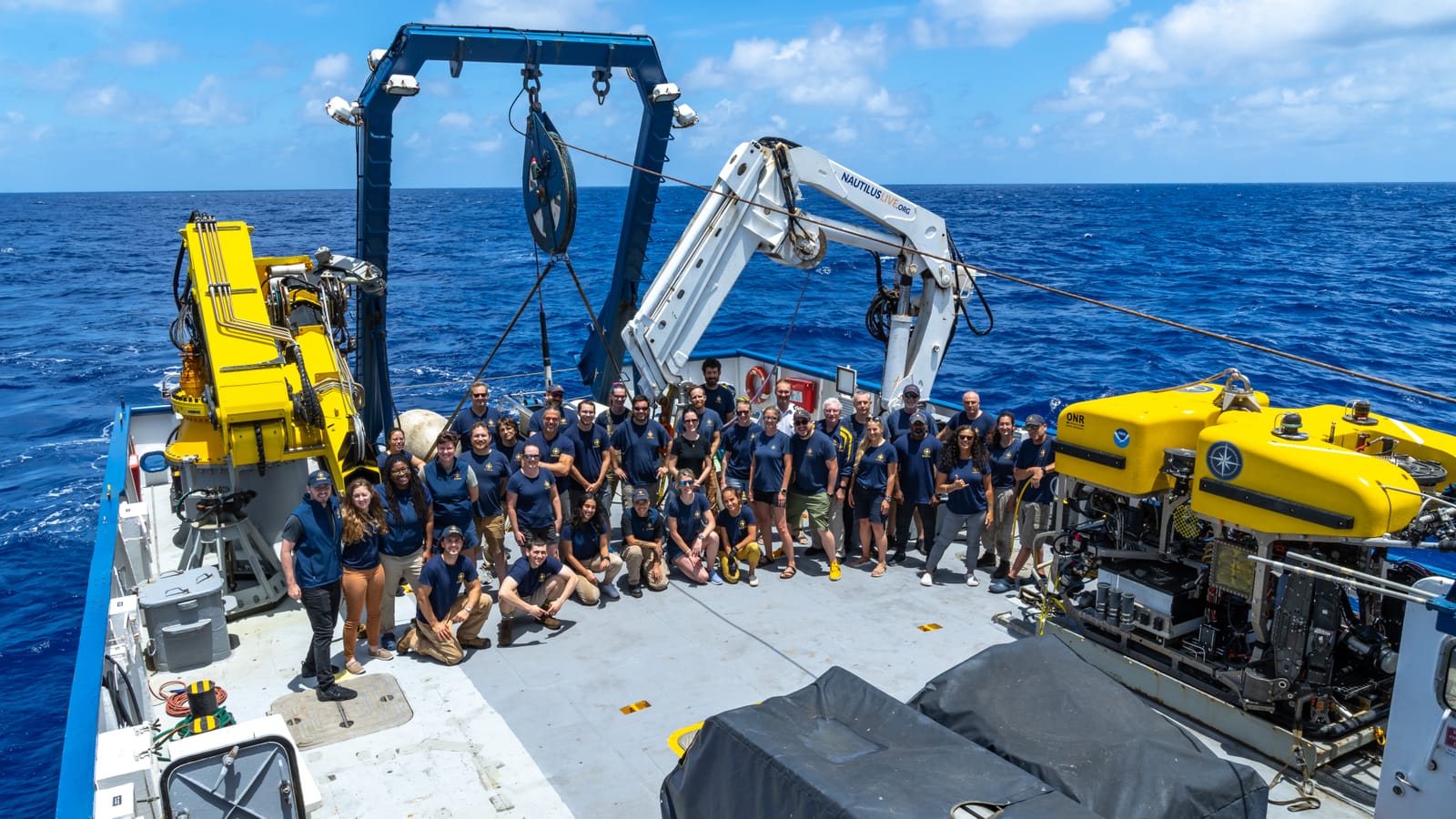
That pull towards education eventually led me to the sea. I switched gears and became a Lead Video / IT Engineer and documentarian aboard the deep-sea research vessel E/V Nautilus. At sea I had the privilege of educating kids worldwide on the stunning ecosystems found deep in our oceans while also serving as the lead video engineer operating side by side with our ROV pilots. Working on the Nautilus was my gateway into technology — I realized I loved the machinery of storytelling as much as the stories — and that spark eventually led me to my current work in healthcare and climate tech.
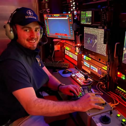
Since then I have taken to building useful geospatial software — programs that benefit humanity. The world of earth observation, remote sensing, and AI, and how they can advance our understanding of the myriad problems our planet faces, has been my focus. In addition to my current projects, I've completed the Climatebase Fellowship with honors and have contributed to several startup projects including Haven, an AI-powered data platform for climate resilience and business planning.
What drives me most is building software in service of real climate outcomes — tools that serve a purpose for climate impact and can help us better protect and preserve this beautiful world around us. If you have an interest in my work, or just want to chat about maps, please reach out, and thanks for visiting!